Tuolumne Meadows
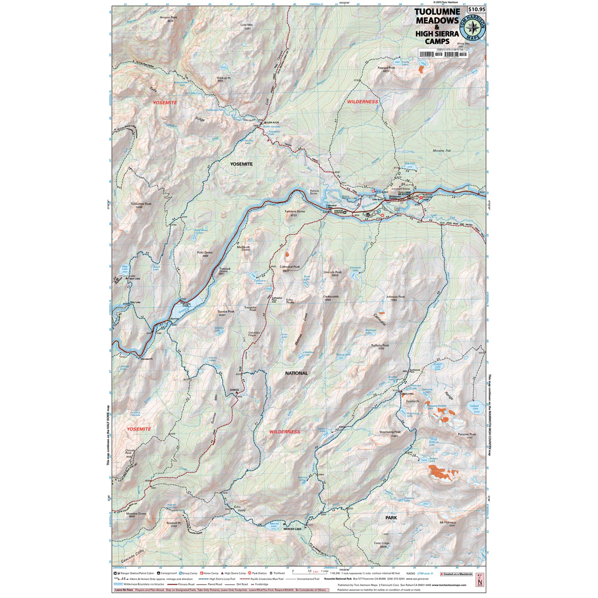
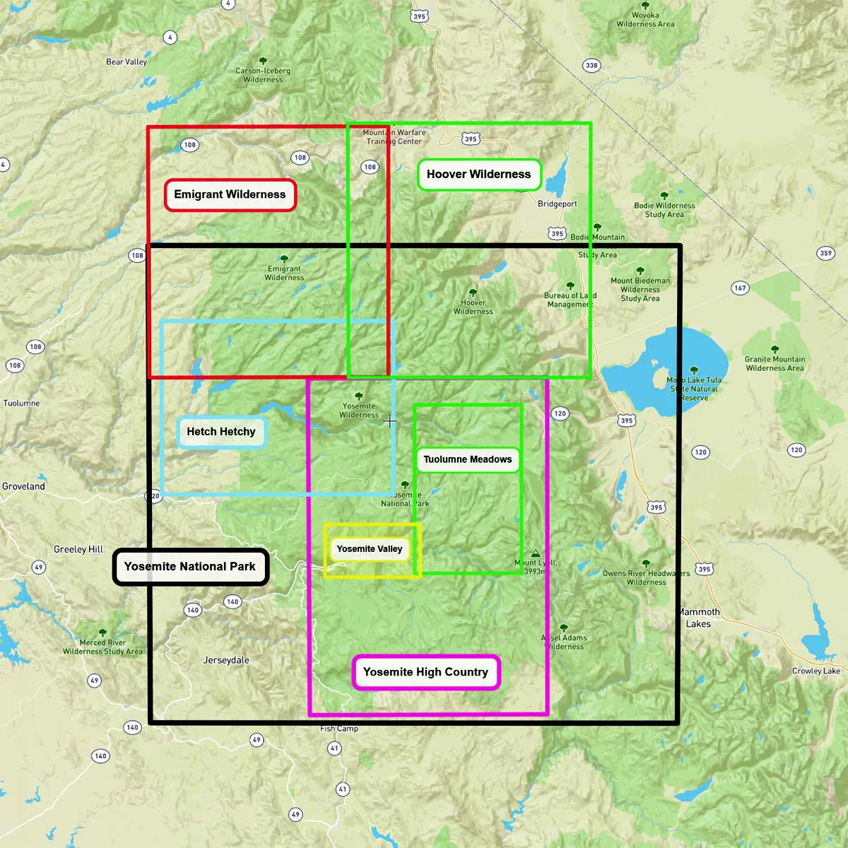
The Tuolumne Meadows Map shows a close-up view of the central portion of Yosemite National Park. At 8,600 ft elevation, it’s much higher than the Yosemite Valley. The John Muir Trail (JMT) joins the Pacific Crest Trail (PCT) and heads south. The iconic High Sierra Loop Trail is highlighted, and the trails to the 5 High Sierra Camps are shown. There is a Visitors Center and restrooms, along with a grill and small store. The map shows trailheads, campgrounds, ranger stations, equestrian facilities, trail mileage, elevation points and more.
- Pub. 2025
- Scale 1:42,240
- 80 ft contours
- Water-proof and tear resistant
- Full-color and light-weight
- Shaded-relief topography
- Color-coded symbols and trails
- Mileages between trail junctions
- Latitude/longitude
- UTM grids
- Contour lines
- Vegetation
- Elevations at trail junctions
Original: $12.95
-70%$12.95
$3.88More Images
Tuolumne Meadows
The Tuolumne Meadows Map shows a close-up view of the central portion of Yosemite National Park. At 8,600 ft elevation, it’s much higher than the Yosemite Valley. The John Muir Trail (JMT) joins the Pacific Crest Trail (PCT) and heads south. The iconic High Sierra Loop Trail is highlighted, and the trails to the 5 High Sierra Camps are shown. There is a Visitors Center and restrooms, along with a grill and small store. The map shows trailheads, campgrounds, ranger stations, equestrian facilities, trail mileage, elevation points and more.
- Pub. 2025
- Scale 1:42,240
- 80 ft contours
- Water-proof and tear resistant
- Full-color and light-weight
- Shaded-relief topography
- Color-coded symbols and trails
- Mileages between trail junctions
- Latitude/longitude
- UTM grids
- Contour lines
- Vegetation
- Elevations at trail junctions
Product Information
Product Information
Shipping & Returns
Shipping & Returns
Description
The Tuolumne Meadows Map shows a close-up view of the central portion of Yosemite National Park. At 8,600 ft elevation, it’s much higher than the Yosemite Valley. The John Muir Trail (JMT) joins the Pacific Crest Trail (PCT) and heads south. The iconic High Sierra Loop Trail is highlighted, and the trails to the 5 High Sierra Camps are shown. There is a Visitors Center and restrooms, along with a grill and small store. The map shows trailheads, campgrounds, ranger stations, equestrian facilities, trail mileage, elevation points and more.
- Pub. 2025
- Scale 1:42,240
- 80 ft contours
- Water-proof and tear resistant
- Full-color and light-weight
- Shaded-relief topography
- Color-coded symbols and trails
- Mileages between trail junctions
- Latitude/longitude
- UTM grids
- Contour lines
- Vegetation
- Elevations at trail junctions